When most of us hear the name P.T. Barnum, we automatically think of the circus and “The Greatest Show on Earth.” But many years before P.T. Barnum’s Grand Traveling Museum, Menagerie, Caravan, and Circus made its debut in 1870 — and 40 years before he partnered with James A. Bailey – P.T. Barnum rose to fame with a very large collection of artificial and natural curiosities from around the world that he displayed at his American Museum in New York City on the corner of Broadway and Ann Street.
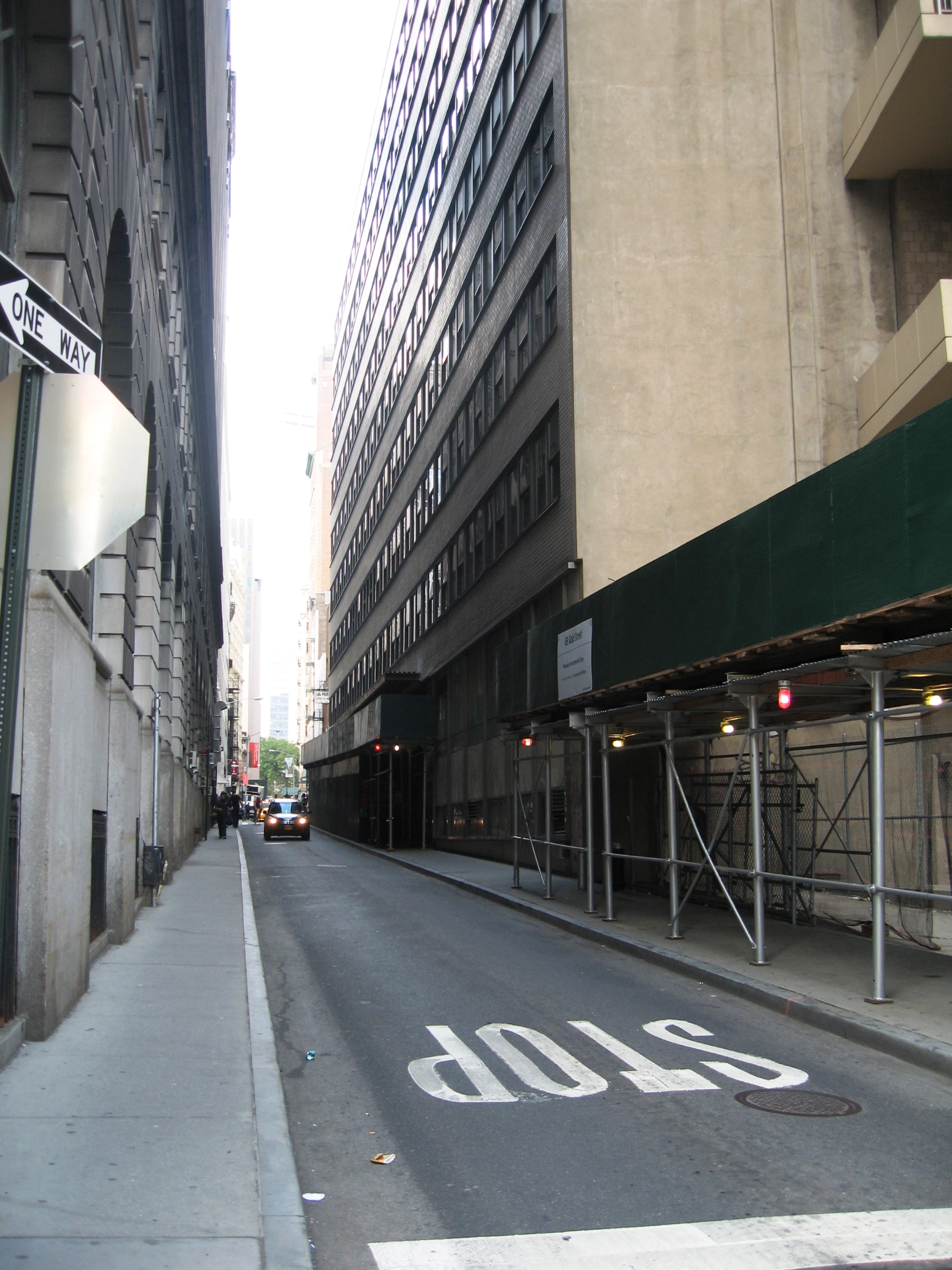
In Part I of the American Museum story, I wrote about the history of the P.T. Barnum American Museum, which once stood at the southeast corner of Ann Street and Broadway. In this post, I’ll explore some of the fascinating history behind the land at this famous Manhattan intersection.
The Cows on Maiden Lane
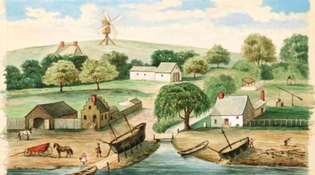
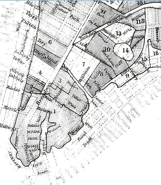
Once upon a time in New Amsterdam, in other words, around the 1630s, all of the land bounded by Broadway (Heere Wagh), the East River, Maiden Lane, and present-day Ann Street was farmland owned by Anthony Jansen van Salee, the Turk, who arrived in New Amsterdam about 1633. This part of lower Manhattan along the East River north of Wall Street was called Smit’s Vly (aka Smit’s Fly or Smith’s Valley).
Anthony Jansen Van Salee, a troublemaker who was married to Grietse Reyniers (dubbed Manhattan’s first “lady of the night”), and whose descendants include Cornelius Vanderbilt, reportedly acquired the land in 1638 and named the farm “Wallenstein” in memory of Albert van Wallenstein, a Bohemian military leader and politician. Van Salee transferred the deed to this land the following year.
According to historical records, the next owner of record was Cornelius Van Tienhoven, a womanizer and embezzler — or so they say. Born in Utrecht, Netherlands, in 1601, Van Tienhoven came to New Amsterdam as a Dutch West Indies Company accountant in 1633. He was promoted to schout-fiscaal (secretary) with the arrival of Director Willem Kieft in 1638, and later named receiver general under Peter Stuyvesant in 1651.
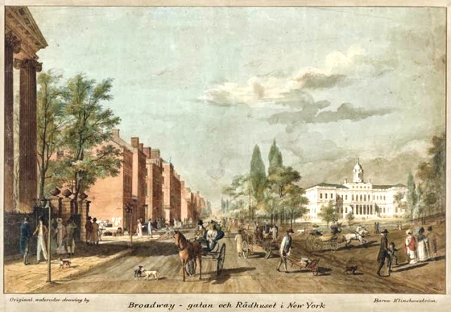
There was at this time a narrow lane that ran north through Van Tienhoven’s farm from about today’s Fulton and Gold streets to present-day Ann Street (where there stood a great tree), and then westward to Broadway. Van Tienhoven’s Lane, as it was called, was not carefully laid out, but was merely an access lane through underbrush and woodland to the triangular pasture where City Hall now stands.
(As an aside, for a very short time around 1690, part of today’s Pine Street between Pearl Street and Broadway was called Tienhoven Street. Tienhoven Street was absorbed by King Street in 1691, which was renamed Pine Street in 1694.)
Following Van Tienhoven’s death (murder?) in November 1656 – his hat and cane were found in the North River (Hudson), but his body was never recovered — the farm was sold to glassmaker Johannes (Jan) Smedes, who owned a glassworks on Glass Makers Street (today’s South William Street.)
Fast-forward 20 years to the Bolting Act of 1676, which forbade tanners, butchers, and shoemakers to operate within the walled city limits (south of Wall Street). At that time, Coenraet Ten Eyck, a tanner and shoemaker, owned a parcel of swampy land west of Broad Street (Heere Graft) and north of Beaver Street (a former sheep pasture). He and several other tanners and shoemakers operated the tanning pits at the intersection of Broad Street and Exchange Place (Prince Graft).
When the Bolting Act was passed under British control, Ten Eyck and his fellow shoemakers were forced to find another location for their tannery. Enter Jan Smedes.
At this very same time, in 1676, Governor Edmund Andros had directed all owners of vacant lots or ruinous lands to build upon or improve them under penalty of having them sold at auction. Smedes sold his farm to Coenraet Ten Eyck and three other shoemakers — John Harpendinck (aka Harpending or Herbendinck), Carsten Luersen and Jacob Abrahamson.
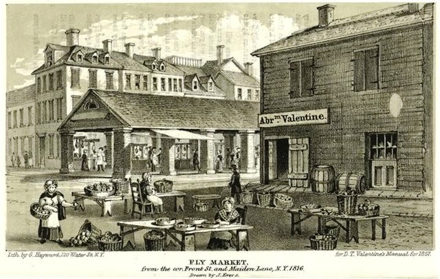
For 20 years, the shoemakers’ tannery, or “tan pitts,” operated on the marshy land near the southeast corner of Maiden Lane and William Street (right about where the Louise Nevelson Plaza is today). All the land including and surrounding the tannery — about 16 acres — became known as the Shoemakers’ Pasture (aka Shoemakers’ Meadow).
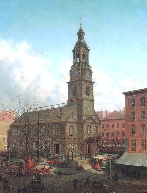
In 1695, Shoemaker’s Pasture was divided into lots, a majority of which were acquired by John Harpendinck. In 1720, Ann Street (Van Tienhoven’s lane), John Street (named in honor of Harpendinck), and Fulton Street were laid out through Shoemakers’ Pasture. Following Harpendinck’s death in 1724, all of his deeded land was bequeathed to the Consistory of the Collegiate Reformed Protestant Dutch Church. The Consistory built the North Dutch Church in 1769 on the northwest side of Horse and Cart Lane (now William Street) at Fulton Street.
From about 1700 to 1770, the northwest corner of Shoemakers’ Pasture, bounded by Broadway, Nassau, Fulton and Ann Street, was occupied by the city’s first pleasure garden known as “Spring Garden.” The garden was lined with shade trees, and featured walkways and small grassy squares bordered by hedges. There was a large public house called Spring Garden House at the Ann Street corner, which was occupied by winemaker Thomas Scurlock (1739), and later by John Elkin (1760) and Henry Bicker (1770).
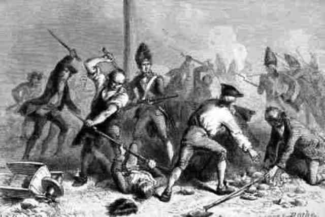
In March 1770, the Sons of Liberty persuaded Bicker to sell the house to them for use as their headquarters. They named it Hampden Hall, in memory of John Hampden, who had given his life in the struggle against arbitrary taxation 100 years earlier. Their first meeting here took place on March 19, 1770.
Following the Revolution, Ann Street had about 20 houses, most of them on the south side of the street. Mr. Ketchum lived at 22 Ann Street, where the Society of Peruke Makers and Hair Dressers met; St. John’s Masonic Lodge No. 1 occupied 2 Ann Street; Washington Irving lived at No. 40; Mrs. Ann Kilmaster’s school was at No. 13; Christ Church in Ann Street was at No. 49; and Johnathan Pearsee kept a tavern at No. 16.
In 1803, the old Hampden Hall at the corner of Ann Street and Broadway was the town residence of Andrew Hopper. He also had a dry goods store on this block in a building at 222 Broadway that he shared with John Scoles, an engraver and bookseller. A few years later the site was occupied by Jotham Smith, who also operated a large dry goods store on this corner.
In 1825, Nos. 220 and 222 Broadway — now occupied by the stores of John Vreeland and others — was sold at auction by the estate of Andrew Hopper. The land was purchased by Francis W. Olmstead, who constructed a large, 5-story marble building on the site. John Scudder opened the American Museum in this building in 1830. P.T. Barnum entered the picture in December 1841.
And so we’ve come full circle. In Part III, I’ll tell you about the animals at Barnum’s museum and the horrendous fire that took their lives.
[…] 1865: P.T. Barnum’s Menagerie at the Corner of Broadway and Ann Street, Part II […]