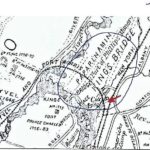

1944: Brownie Gavan, the Canine Squire of Kingsbridge (Bronx) Who Prevented a Burglary on Godwin Terrace » 1783BritishArmyMap
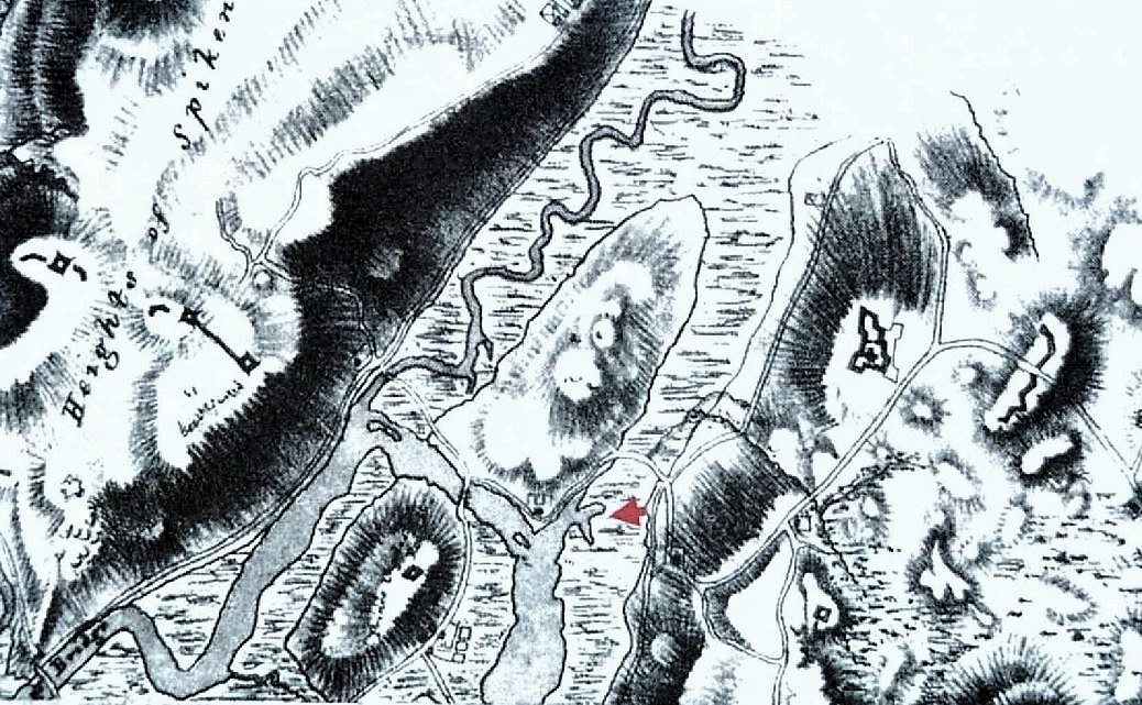
In this 1782 British army map, Kingsbridge is depicted by the hilly region north of the red arrow (which marks the location of today’s Broadway and West 230th Street). The hilly region south of the Spuyten Duyvil Creek is present-day Marble Hill (Up until about 1913, Spuyten Duyvil Creek formed the northern boundary of Manhattan.)
In this 1782 British army map, Kingsbridge is depicted by the hilly region north of the red arrow (which marks the location of today’s Broadway and West 230th Street). The hilly region south of the Spuyten Duyvil Creek is present-day Marble Hill (Up until about 1913, Spuyten Duyvil Creek formed the northern boundary of Manhattan.)